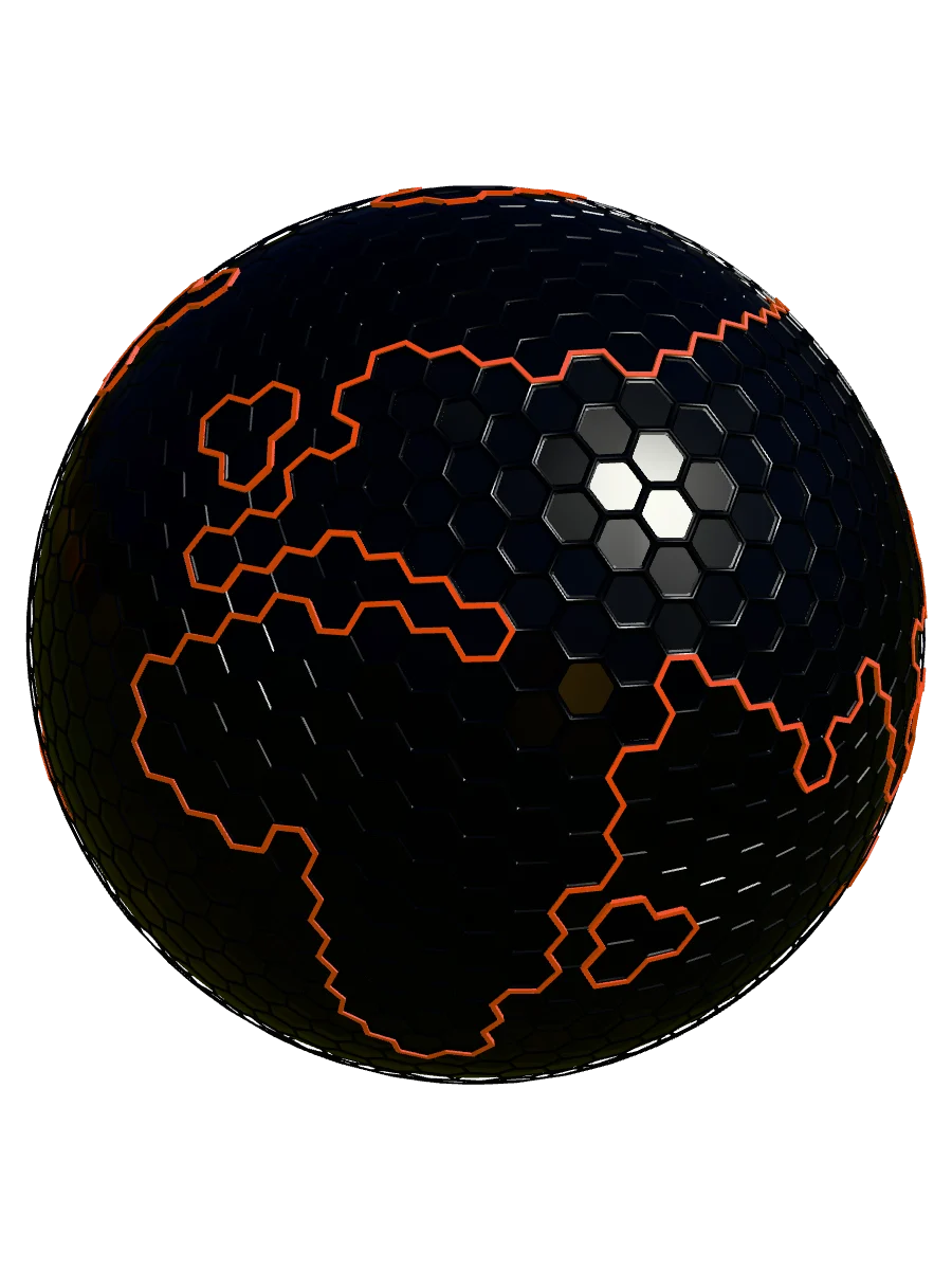
The Earth, Curated.
What looks permanent is always changing. From the tectonic scars of the Andes to the retreating ice of the North, SOLAST preserves fragile landscapes and reveals the motion hidden beneath the surface. More than a map, it is a living record of change across the planet and deep within it.
// SYSTEM STATUS: ONLINE | ARCHIVE ACCESS: GRANTED
PRESERVATION PROTOCOL
Time creates, but now it erases faster than ever. Glaciers retreat, ecosystems vanish, and geological giants turn to dust. The mission is not merely to document, but to immortalize these states before they change irreversibly. A sanctuary for the Earth’s memory, preserved in code for future generations.
DECODING THE TERRAIN
Raw satellite topography is processed to reveal what the naked eye misses. By reconstructing the terrain in 3D, the deep history written in rock is exposed: the flow of ancient glaciers, the violence of tectonic shifts, and the intricate texture of erosion. A high-precision snapshot of geological time.
VIRTUAL SOLACE
True preservation requires a delicate paradox: to love the world, we must witness it; yet our presence often destroys it. This archive offers a solution to solastalgia, the grief of a vanishing home. A virtual alternative to physical intrusion, allowing deep exploration without disturbance. Witness the fragile without breaking it.
EARTH IN MOTION
Earth moves to more than one clock. Tectonic plates, the vast pieces of its rocky outer shell, usually shift only a few centimeters each year. An earthquake begins when rock suddenly breaks and slips. This map brings the slow and the sudden into the same view.
Open an earthquake, and its numbers become clues. Its reported depth takes you down to where the break began. Its magnitude reveals a hidden scale: a change that looks small on the page can mean many times more energy sent out as seismic waves. Together, they turn a dot on the map into a glimpse of Earth in motion.
